Dry Creek Basin Ecological Watershed Restoration Planning Grant-SNC
The Dry Creek Ecological Site Watershed Restoration Plan is a Category Two project located in the center of the Warner Mountains, in eastern Modoc County. Situated approximately 12 miles east of Alturas, the county seat, the project spans 6,630 acres across Modoc National Forest and private lands with the Modoc Resource Conservation District as the grantee.
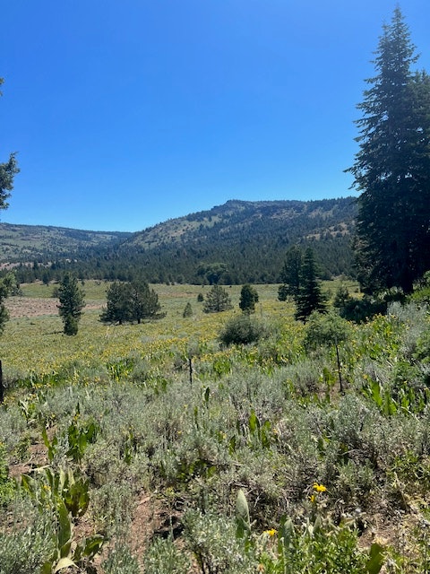
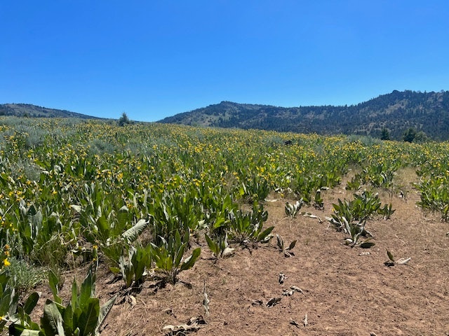
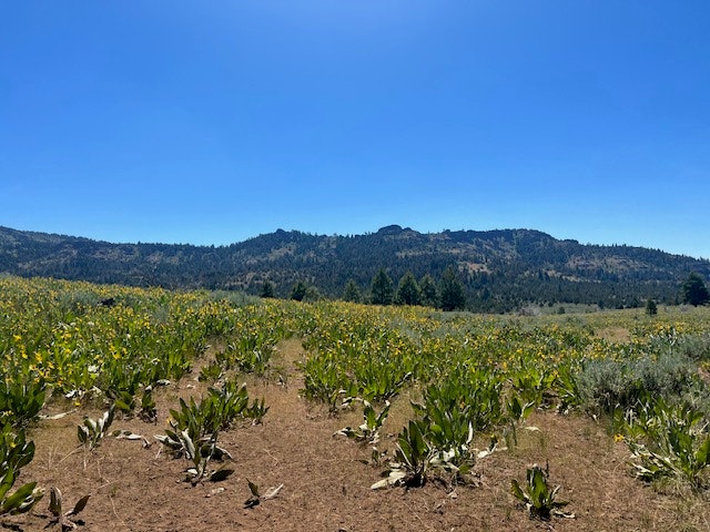
This planning project will develop an ecologically-based watershed restoration plan and provide recommendations to help restore the health of the conifer forest, sagebrush upland and meadow riparian sites on Forest Service and private lands within the Dry Creek Basin analysis area. These treatment recommendations will build on the results of prior and upcoming juniper removal work funded by the National Resources Conservation Services to consider potential opportunities for increasing pine/fir stands and improving upland shrub habitat and riparian areas to reflect historical conditions. Assessments will be completed on multiple sites as well as CEQA/NEPA supporting documents on four sites within the project area. The plan will also explore various options of using juniper as a biofuel and as wood product.
The Dry Creek Ecological Site project is located in the headwaters of the Upper Pit River Watershed. Dry and Gleason Creeks, both located within the project area, flow into Parker Creek and then continue a journey to Lake Shasta and the Sacramento River. The Pit River provides 30% of the yearly flow into Shasta Lake. Downstream beneficiaries include irrigators who use the water primarily for native grass hay and wild rice production on private ranches and on tribal land. The implemented projects will result in vegetative changes that will slow melt, prolong spring runoff and allow more water to infiltrate into the soil benefiting ground water recharge.


